Awaiting remediation for the creek, local attention has turned to the more immediate threat of rain-driven flooding. Coney Island flooded badly from the remnants of Hurricane Ida at the beginning of September 2021. The two years since were a missed opportunity for resiliency improvements, local activists say.
Nina Dietz
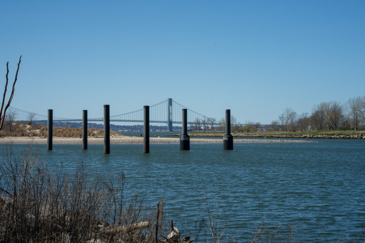
The since-removed pilings for the abandoned Coney Island Ferry Terminal sit in the creek with the Verrazano Bridge in the background.Editor’s note: This is the third in a series of three stories examining the history of pollution and calls for remediation at Coney Island Creek.
Read Part 1: Industrial Past Collides with a Superstorm
Read Part 2: Long Road to Superfund Status
Pamela Pettyjohn is accustomed to having to fight for her home. As the director of the Coney Island Beautification Project, she is used to her neighborhood being treated as an afterthought, she says—even when Coney Island is included in city improvement plans, she’s often disappointed by the lack of community consultation.
“We spent two years fighting to get Southern Brooklyn included in the HAT study,” Pettyjohn said, referring to the acronym for the U.S. Army Corps of Engineers’ New York-New Jersey Harbor and Tributaries Study, aimed at protecting the region from coastal storms like Hurricane Sandy.
“And when they did include us, they just said, ‘Oh, we’re gonna put floodwalls and flood barriers’ and that’s it,” said Pettyjohn.
She and other local activists had hoped the Army Corps plan would include addressing decades of industrial pollution at Coney Island Creek, part of wetland restoration and green infrastructure the community has been pushing for around the waterway.
Pettyjohn herself had sought to get the creek included in the Billion Oyster Project—which installs oyster reefs as both flood protection and an added boost for water quality—only to be told Coney Island was not suitable due to concerns over human consumption of the oysters.
Now, she and other activists are disheartened by the South Brooklyn measures included in the HATS proposal, which they worry could just trap more sewage behind proposed flood barriers in the event of a storm. The study’s focus on coastal flooding, critics say, ignores other more recent climate-induced threats, including increased precipitation.
“Heavy rainfall, sewage backup, tidal flooding, there’s all kinds of flooding that affect people every day. And they’re not even addressing that,” said Pettyjohn. “They’re looking at an 11-year-old… storm and basing all of their decisions on that.”
Desperately seeking Superfund status
But disappointment around the HATS plan helped spur another effort to clean up Coney Island Creek, albeit indirectly. In early 2020, funding for the study was cut with little fanfare, halted by then-President Donald Trump.
Like Pettyjohn, local activist Craig Hammerman had been “trying to convince the Army Corps to take a look at the creek within the context of HATS to see if there was something that they could do to remediate” it, he said.
“It was [the] creek flooding over that really hit the community the hardest during Sandy, it wasn’t the ocean as much,” he explained. “Just like in New Orleans, it was the lake north of the city and not the Mississippi River itself.”
Hammerman, who possesses the sort of stubborn streak common among born and bred New Yorkers, was raised in Brooklyn and spent time as a kid in Brighton Beach with his aunt. He moved to the neighborhood five years ago, in search of the quiet he remembered from childhood.
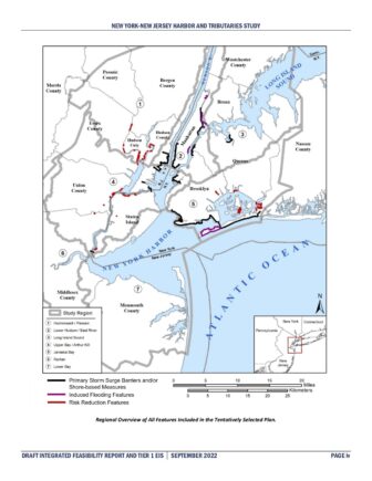
New York-New Jersey Harbor and Tributaries coastal storm risk management feasibility study
A map showing where storm-surge barriers and other protections would be placed under the Army Corps’ draft proposal.He was already well acquainted with polluted waterways: He had served on Brooklyn Community Board 6, which encompasses Gowanus, for more than a decade, and had been there for the initial rezoning proposal in 2006 and subsequent fight over the Superfund National Priority Listing of the canal.
“Coney Island Creek has the same kind of historic industrial pollution legacy as the Gowanus. Coney Island Creek, like Gowanus, also borders on public housing,” Hammerman said. “There are a couple thousand people that live there. So we see it as an environmental justice issue.”
When the HATS study was suspended in 2020, it was the incentive he needed to seek intervention directly from the U.S. Environmental Protection Agency (EPA), which designates Superfund sites for federal cleanup.
The state’s Department of Environmental Conservation (DEC) had already refused to consider Coney Island Creek on policy grounds, and at this point the Army Corps of Engineers was no longer in a position to do any testing at the site.
Hammerman’s efforts seemed to work at first. Six months after he sent his letter, the EPA released its Preliminary Assessment of Coney Island Creek, indicating that it qualified as “high priority” for a site inspection. New testing was not performed, but past results had cataloged where several pollutants—including PCBs, lead, and benzene—were found in the creek.
It was concerning enough for the EPA to move the creek along to the next phase in its assessment. Hammerman was just “grateful” the creek was getting attention. The EPA held community information sessions in April of 2021 and a presentation for the Coney Island community in June 2021 about pre-clean up activities at the creek.
The EPA’s site inspection report, released in December 2021, added findings of cyanide, significant quantities of a now-banned ant killer called mirex and other toxic compounds to the growing list of the creek’s contaminants. In February 2022, the EPA held another community meeting where it presented some of the findings and a potential path forward, including that the state’s DEC would be called in to consult on the creek.
But the lack of more substantial next steps left local Community Board 13 members on edge. That March, the board passed a resolution calling for the creek to be “evaluated for inclusion as a federal Superfund site by the U.S. EPA.”
Waiting game
But progress since then has been slow. In an interview in March, when asked about the Hazard Ranking System Documentation Record for the creek—the scoring paperwork used to tally up how polluted and dangerous a site is—EPA Coney Island Creek Site Manager James Song deferred to the state.
“Currently, the site is being reviewed by the state programs,” Song said. “So they would have the control over that. So everything is in their hands at this moment.”
According to former DEC region 2 director, Suzanne Metti, this is a misrepresentation of the state’s normal role in the Superfund process. Metti said the final “decision to designate a site as a Superfund site is made by the federal EPA.”
Nina Dietz
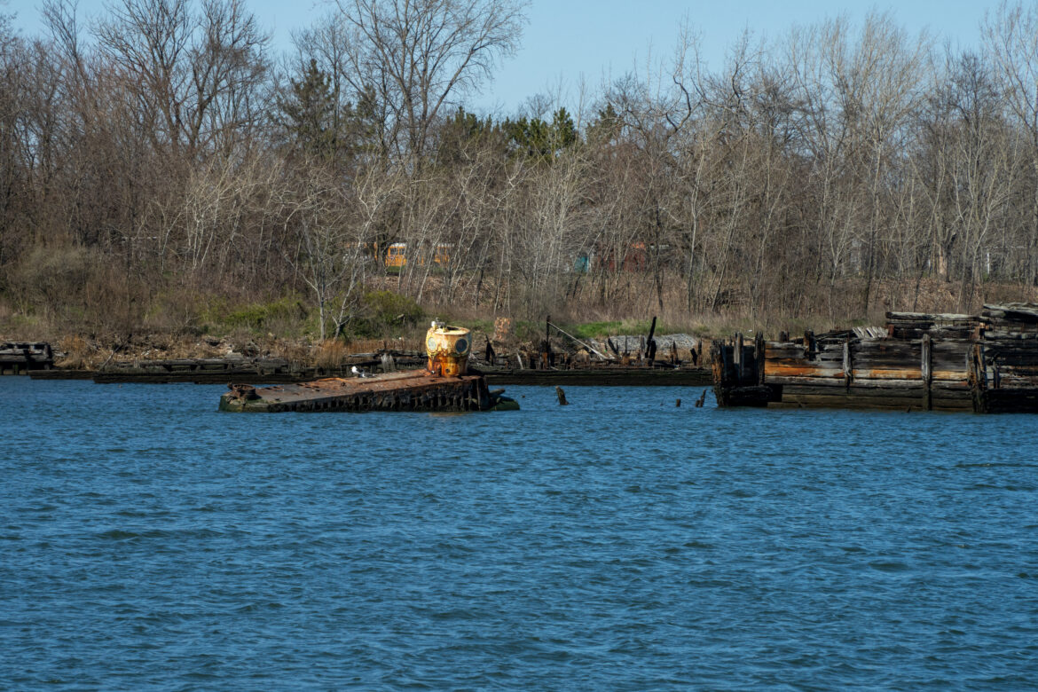
The Quester I, a yellow submarine built of salvaged metal by Coney Island local and shipyard worker, Jerry Bianco. It never left the creek after 1971 when the televised inaugural launch ended disastrously.
As a policy, the state DEC does not list bodies of water for remediation unless they are first listed as a federal Superfund site. But the agency has taken over investigations of three sites on the banks of Coney Island Creek that were initially identified by the EPA in 2020. They all underwent Preliminary Assessments, the first step to see if they qualify for the federal Superfund National Priorities List.
During a meeting in March 2023, Andrew Guglielmi, director of environmental clean up at the DEC, reiterated this state of affairs. He said that the DEC’s own Superfund program relies on holding polluters accountable to clean up the sites they have contaminated. But since there isn’t a single on-site polluter to hold accountable for the entire creek, it doesn’t qualify.
“Just to be clear, whether or not to list Coney Island Creek as an NPL [National Priorities List] site rests with EPA, that will be their decision,” Guglielmi said.
Ida Sanoff, a longtime community activist, is beginning to give up hope that Coney Island will be cleaned up in her lifetime. She pointed to similarly slow progress around plans for the remains of nearby Fort Lafayette, now the base of the east tower of the Verrazzano Narrows Bridge.
As a former military base, the responsibility for cleaning up the site is not contested, as the jurisdiction falls to the U.S. Department of Defense (DOD). The DOD has already put $16,000 toward assessing the contamination from spilled and buried munitions at old Fort Lafayette, and expect to pay out over $3.5 million by the time it has been fully remediated—in 2034, according to the expected completion date.
“I’ll be dead!” Sanoff, 71, quipped.
Any hope Sanoff and Pettyjohn once had that the Army Corps of engineers would look at flooding holistically has faded. While the Biden administration restored funding for the HATS study, the long-awaited proposal, released last fall, has been criticized as too focused on coastal storm surges and ignoring other climate-related threats.
To Pettyjohn, the Corps’ plans for South Brooklyn feel like “just something they threw together.” She was amazed to see that none of the plans protected against precipitation or tidal driven flooding, especially when sea level rise in New York is happening at nearly double the global average.
It was a fight to even get Coney Island included in the study, she added.
“There are more government buildings in lower Manhattan than anywhere else. We understand all of that,” said Pettyjohn. “We tried to explain to them that we were the first line of defense, that if you protect us, you won’t need as much protection for the inland.”
Shifting priorities
In the meantime, local attention has turned to the more immediate threat of rain-driven flooding. Coney Island flooded badly from the remnants of Hurricane Ida at the beginning of September 2021. The two years since were a missed opportunity for resiliency improvements, according to Sanoff.
“There’s nothing new with flood control. When we had that massive rainstorm,” she said, referring to flash floods that paralyzed much of the city on Sept. 29, “the usual places in Coney flooded again.”
And, as always when South Brooklyn gets heavy rain, a noxious mixture of runoff and sewage flows into the creek from the Combined Sewer Outflow between the Stillwell and Cropsey Avenue bridges.
The city’s Department of Environmental Protection’s green infrastructure program, which is designed to divert and clean runoff before it enters storm drains by building green roofs and rain gardens, includes the Coney Island Creek watershed, though nothing yet for the island itself. Final designs for the project are due in December, but Sanoff doesn’t expect much.
“What is it, Nero fiddled while Rome burned?” she said. “Well, the city agencies just do more studies while Coney Island drowns.”
Pettyjohn, too, has been left hanging by unfulfilled city promises before: In 2014, the city allocated $15 million to build bioswales, a specific type of rain garden, on Mermaid Avenue, but the project was never built.
“They sent a team of people to inspect the infrastructure on Mermaid Avenue and they said that our water table was too high,” said the neighborhood’s former Councilman Mark Treyger.
The funding was part of a $4.21 billion federal block grant from the Department of Housing and Urban Development for disaster recovery that was allocated for New York City in the wake of Sandy. As far as Treyger knows, the funds were redistributed to other projects.
The high water table means that ironically, rain gardens may not be a viable option in Coney Island, according to Lisa Bloodgood, an environmentalist and the director of horticulture and stewardship at North Brooklyn Parks Alliance. “We only have so much room between the surface and the groundwater,” she explained. “And once you fill it up, you get flooding.”
It’s like a game of whack-a-mole. Redirecting water from the sewer system might prevent raw sewage from being directed to the creek, and keep flood waters from overflowing the storm drain system, but in polluted areas it can cause more issues.
“Because of the underground pollution, if you just keep putting more water into that ground pollution area, you’re moving things around in potentially unpredictable ways and causing more problems that you might not even be aware of,” Bloodgood explained.
No matter the limitations, Pettyjohn is determined that her community not be left to sink in the face of rising sea levels and increasingly frequent storms. Coney Island has a high population of low income residents as well as a number of immigrant and non-English speaking communities.
This, combined with its industrial history and tendency to flood, has earned the neighborhood designation as an Environmental Justice Area from the Mayor’s Office of Climate & Environmental Justice. Pettyjohn sees the designation as an opportunity to attract funding for a flood control project envisioned by the community.
As much as she loves her neighborhood, she knows she would not be able to stay through another storm like Sandy. “I had full flood insurance. I had everything and still I had to take my entire savings in order to fix my home. And ended up going into debt. And this is 11 years later and they’re still taking money out of my Social Security to pay for the rebuilding of my home,” Pettyjohn said.
Both she and Sanoff know it’s only a matter of time before the next storm pushes contaminated water from the creek into the streets of Coney Island.
For Pettyjohn, a full remediation of the waterway is starting to feel like a pipe dream. She has shifted her focus to flood control. As far as she’s concerned, Coney Island’s continued existence is looking more precarious with every season.
“We’re kind of getting hit by all sides and if we don’t do something and we don’t do something quickly,” she said, “I don’t see how you can continue to live here.”
To contact the editor, email jeanmarie@citylimits.org


