Share This Article
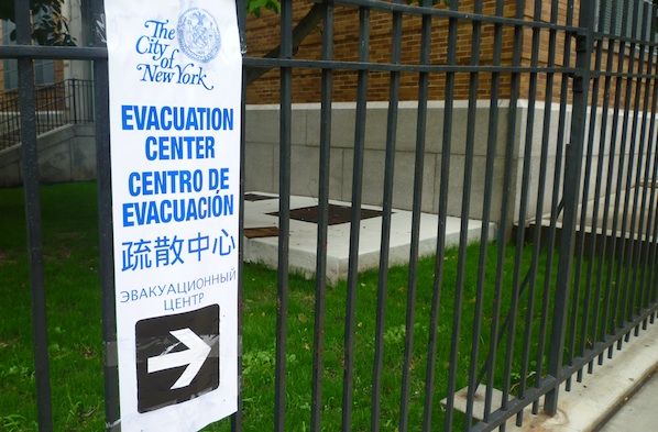
Photo by: Jarrett Murphy
At PS 102 in Parkchester.
While southern Queens wears the yellow and amber code of the city’s hurricane map like a sunburn, the Bronx’s risk profile is like a minor case of acne–a few trouble spots on a skin of relative safety.
Even far outside of the Zone A areas, there were signs of the impending danger, though they were subtle. At Lehman College, one of the city’s evacuation centers, miles from any of the evacuation zones, a police officer said at 1 p.m. that only two families had shown up to stay. Empty school buses stood out front. A few blocks away and a short time later at Dewitt Clinton High School, staff said that 18 people were there–one family of 13 among them. The sign-in table there included a sheet of rules that barred “alcohol, drugs and weapons.” IS 201 in Hunts Point has capacity of 2,000, but only had one family registered as of 2:30 p.m. Nearby, an outdoor religious service boomed through a PA in Spanish and English.
By 3:15, the pace of arrivals was starting to pick up at PS 202 on Archer Avenue near Parkchester. Only 18 people were inside but another family arrived as staff, so leery of violating their guests’ privacy that they freaked out when a reporter stepped from the sidewalk into a doorway, spoke to City Limits. The people were coming mainly from the surrounding area, staff said. A volunteer came in toting a fan.
Later, closer to the water’s edge at Clason Point–a blotch of Zone A risk on a headland of the southeast Bronx coast–the menace felt very real as Irene’s first bands of dirty grey appeared across the East River, even if the worst worries were confined to a handful of blocks.
Five o’clock, the hour of mandated departure, arrived and last leavers closed car doors and rolled slowly down the narrow streets that sit between the mostly cottage-sized houses and the water. Each evacuating car seemed to leave the neighborhood slightly quieter. Plywood covered a few windows, but many more displayed masking tape, in different patterns–crosses, asterisks. One resident, wearing a shirt that read “FCK: All that’s missing is you!” was unhappy to see a reporter in his neighborhood. “Get out of here you sightseeing son-of-a-bitch!” he bellowed.
Unlike in the Rockaways or the areas around Jamaica Bay, where Zone A blocks abut Zone B areas, the pockets of highest risk in the Bronx rub up against green or white areas on the city’s hurricane map–sections that would need to fear storm-surge flooding only in a catastrophic hurricane, or never (although the map doesn’t necessarily address flooding from rain and poor drainage).
So even as police cars cruised quietly down the streets of southern Clason Point, their roof lights flashing in constant warning, a couple blocks away, normal Saturday activities played out. A bunch of guys worked on a car. People jogged. A couple seemed to be searching for a make-out spot in Clason Point Park.
Across Westchester Creek in Throgs Neck, one could enjoy the unsettling sensation of being the only soul in Ferry Point Park, or go a few blocks east and find the parking lot full for vigil Mass at St. Francis de Chantal Church on Harding Avenue. A tiny patch of Zone A lay at the point where Quincy Avenue runs into the water. As the first bands of heavy rain came through, people were still there. Another small section of Zone A risk–and therefore, another area that was supposed to evacuate–was around the rim of Hammond Creek, a little inlet just west of the Throgs Neck Bridge.
A small patch on the northwest quadrant of City Island and a triangle of land south of Yankee Stadium rounded out the list of “must leave” areas of the Bronx.