Photo by: Adi Talwar
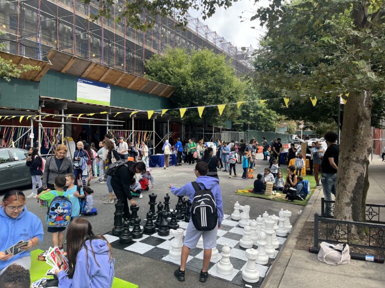
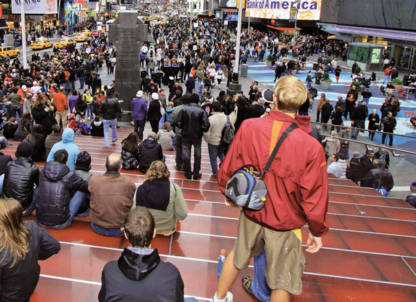
New pedestrian access to key crossroads like Times Square is a Bloomberg-era twist of an old idea. Mayor Lindsay wanted to close Madison Avenue in Midtown to cars, but the idea was defeated.
Through a canyon of thin skyscrapers the road runs from the Williamsburg Bridge and into the great gray city. White cubes are stacked to form apartment buildings to the right and left–a wall of high-rises that decrease in height as the road descends from the bridge down into a subterranean vein, a highway sliced across the island of Manhattan. Above this road, some of the residential cubes are stacked in giant triangular arches. From the left, traffic from the Manhattan Bridge is merging in. On the right is the Hub, a locus of commerce and transit where subways, buses and a “people mover” monorail system interconnect. Nearby is a swirling structure that combines a school and parking garage. Ahead is the Holland Tunnel and the interstate system that runs clear across the American continent.
It’s a dream come true. But only at 1:384 scale.
This fall the Lower Manhattan Expressway, an idea born in the 1930s and nurtured by Robert Moses before it was killed in the late 1960s, lived again in a gallery at the Cooper Union. A team of architects, faculty and students recreated a model that visionary architect Paul Rudolph built in the early 1970s for what appears to have been a brief, doomed reconsideration of the Lomex proposal.
Led by architect Ed Rawlings, the re-creators had only a few drawings and photographs to work from to resurrect Rudolph’s vision of a futuristic urban viaduct lined by ultramodern residential towers composed of dozens of uniform residential cubes and linked by swirling ramps to centers of commerce and mass transit. This was not just a new road going through an old city. This was a new city rising with the road.
No one is sure why the model, funded by the Ford Foundation, was created in the first place—especially in an era when big planning concepts and automotive-centric design were very much out of style. No one knows what happened to Rudolph’s original design. No one has been able to find the short movie that was made about the project, the script for which at one point declares: “The beauty of automobiles in motion stirs us all.”
And no one can say what the city would have been like if city leaders hadn’t defunded Lomex in 1969, although people have their hunches. “Most of the time, the visceral reaction is, ‘Oh my God, I’m so glad they didn’t build that,” says Steven Hilyer, director of the archive at the Cooper Union’s Chanin School of Architecture.
But the problem that Lomex was trying to “solve” remains. The “automobile in motion” might not be beautiful to New Yorkers, but the car is still very present in 2010 New York. Sure, the expressways don’t cut through Manhattan like Lomex would have. But they do have the borough surrounded—the BQE, the Grand Central, the Deegan, the Cross-Bronx, and even the New Jersey Turnpike on the west.
“I keep looking at it and I don’t think that it’s dystopian,” says Brett Littman, head of the Design Center, which organized the exhibit. Yes, it suggests a city totally alien to the one we know. But for some, that’s just what New York is—”nothing more than a provisional city—a city which will be replaced by another city,” as famed urban designer Le Corbusier put it. “In some ways, that’s the life of the city,” says Littman: change. “We’re not Prague. We’re not China either, but we’re not Prague.”
Before the project was killed, a short set of support beams for Lomex was built at the Manhattan end of the Manhattan Bridge. The beams are proof that, for all that has changed in New York in the past 50 years, one question runs constant: Is New York as good as the city it might have been?
Right now, more so than at probably any other time in its past, New York City is thinking about its future. City Hall is drafting an update to PlaNYC 2030. The City Planning Department is finalizing Vision 2020, a plan for the city’s waterfront. The Economic Development Corp. is pursuing “2020” plans to enhance the future prospects of the city’s media and fashion industries. In October, the Municipal Arts Society gathered industrialists, pro-cycling activists, developers, parks advocates, community organizers, architects and bureaucrats into one room for a two-day huddle on how to make a greener, more successful New York. The Regional Plan Association, creator in the past century of three landmark plans for New York’s growth, is considering launching a new one.
Meanwhile, the just-completed election is likely to usher in a new world of fiscal reality, and the recently-finished Census will give New York its first look in a decade at what kind of city it is becoming. Climate change is a reality. Global competition is inescapable. An aging infrastructure needs updating if the region is to keep up.
So the need to plan is obvious. And the desire to plan is manifest.
Unfortunately, the way New York City plans is largely broken.
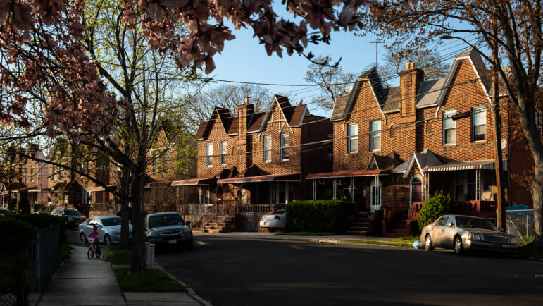
Unlike many major American cities, New York has never completed a comprehensive plan for its future. Instead, it has passed zoning laws to try to constrain the private market. The last attempt to deal with zoning in a comprehensive way? Fifty years ago. Under Mayor Bloomberg, more than 100 neighborhoods have been rezoned, but it is not clear that those changes follow a logical, equitable or comprehensive plan for how to accommodate the hundreds of thousands of new residents the New York of 2030 will have to house, employ and move.
In the 1950s, New York City set up community planning boards to give neighborhoods a voice in their future. But these boards have never received the funding they need. In the late 1980s, the boards were given the power to craft proactive plans for their development, but the process is so daunting that only a handful of boards have actually gone through it, and some did so only to see many of their wishes overruled by the city. When a developer or the city wants to change the way land is used in New York, there is an approval process that is supposed to give those community boards a voice. But the voice is often disregarded.
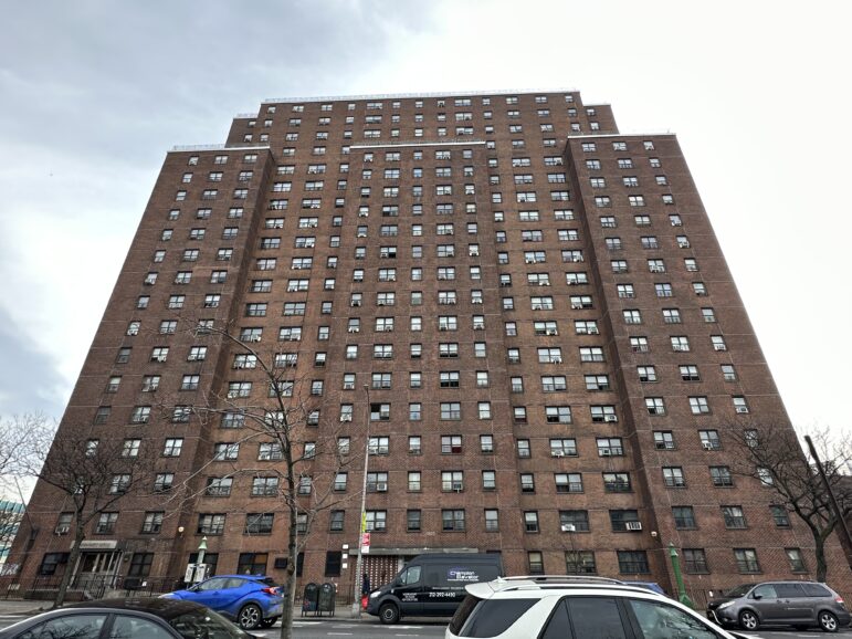
At the same time, developers complain about a process that is too slow, too unpredictable, too open to manipulation by interest groups with little legitimate connection to the communities they purport to represent. Communities gripe about a system that gives them little chance to reshape deals that will alter the city they know. Environmental review is less about preventing harm and more about avoiding litigation— sometimes unsuccessfully. Citywide issues, like living wages and affordable housing, are addressed one development at a time. Efforts to spread burdensome facilities like waste transfer stations equally are handled on an agency by agency basis. As industrial acreage is disappearing along with blue-collar industrial jobs, the city is surrendering manufacturing land to a university, to residential developers and to dreams for a convention center in Queens. The city is expanding its transit system but cannot afford to operate the current network. New York is reducing carbon emissions but building massive parking garages for its new stadiums and malls.
Oh, and PlaNYC? Not actually a plan.
This spring and summer New York had an opportunity to rethink how it grows when a charter revision commission set out to improve the way the city governs itself. At the commission’s public hearings, there was an outpouring of concern about the way the city is growing— from civic organization like the bar association and Citizens Union to the communities affected by Bloomberg-era development policy in all its manifestations: Atlantic Yards, Yankee Stadium, Willets Point, West Harlem, 125th Street, Greenpoint-Williamsburg. The charter commission responded, dedicating a whole hearing to expert testimony on the pros and cons of the way the city plans, or doesn’t plan.
But when it came time to make concrete proposals, the commission offered only a minor tweak to the way the city tracks data on environmental burdens. That measure passed on Election Day. But it barely scratched the surface of the need for reform laid on the commission’s table.
“We knew that we were on a highly restrictive clock,” says Matthew Goldstein, the City University of New York chancellor who chaired the charter revision commission. Although he had been talking about it since early 2008, Mayor Bloomberg didn’t appoint the charter commission until this past March, and then—despite pleas for a longer time-line—the panel aimed hard at getting questions on the 2010 ballot.
The Goldstein panel published its findings on land use and other areas where it did not act, hoping to equip a future panel to do a more thorough job. But it’s unclear that such an opportunity will arise. Why would it? The current system favors the mayor and the Council, whose individual members have all-but veto authority over development projects in their districts. For the mayor, that means power. For Council members, it means money. Developers and their lobbyists are reliable sources of campaign contributions.
The charter commission hearings and the Lomex exhibit are only the latest indications that New York is thinking about the way it grows.
After nearly 40 years in purgatory, Robert Moses was dusted off in 2007 for a three-museum retrospective of his life and work. There was overdue credit given to Moses’ role in the expansion and improvement of the city and state’s park systems. But when it came to Moses’ most obvious contribution— building a lot of roads—the retrospective went out of its way to give him credit for, well, building a lot of roads. “The achievement of Robert Moses was that he adapted New York City to the twentieth century,” was how Columbia University professor Kenneth Jackson framed it.
As she had done in life, the author and urbanist Jane Jacobs didn’t let Moses (or his apologists) have the last word. An exhibit exploring her work went up at the Municipal Art Society shortly after the Moses reflections came down. Everybody loves Jane Jacobs, and that’s the problem: Just about everyone has appropriated Jacobs to posthumously endorse or denounce today’s development projects, no matter how violent the intellectual jujitsu behind the linkage—like the spokesman for one developer who described a plan that conemplated using eminent domain to evict light industry and low-income residential buildings as “real Jane Jacobs stuff.” As Pratt Center for Community Development senior fellow Eve Baron puts it, “Either Jacobs or Moses is invoked depending on what’s being sold.”
This past summer, Mayor John Lindsay was reconsidered in a Museum of the City of New York exhibit, PBS documentary and book, and attention was paid to his overlooked role in enlivening the city’s urban design—or at least trying to. As James Sanders wrote in the Lindsay retrospective, one of the several planning teams Lindsay created “to promote advanced urban design ideas” came up with a plan to close Madison Avenue between 42nd and 57th streets to cars—permanently—and allow buses only down a center lane. The idea was laid to rest by the Board of Estimate in 1973 at the behest of taxi fleet owners and department stores.
And this fall, veterans of the Westway battle gathered to celebrate the 25th anniversary of their defeat of a plan to fill in the edge of the Hudson River on the Lower West Side, creating an area for a park and residential development and sinking the West Side Highway below ground south of 40th Street. Though it was backed by all levels of government, Westway ‘s opponents saw it as yet another surrender of the city’s physical shape to the needs of the automobile—a boondoggle that would spur a rash of unwelcome development on the West Side with money that would be better spent on mass transit.
The idea was killed in 1985. Instead of Westway, the city received more than a billion dollars in transit funding. But the Lower West Side got West Street, a six- to eight-lane highway separating New Yorkers from the river, where a pretty—but pretty thin—strip of park has taken shape.
And while there were many sound arguments against Westway, none won the day. Instead, Westway died when a federal judge found that the project’s proponents had understated the threat that the development posed to the striped bass that lived among the piers and bulkheads on the river’s edge. “It was a preposterous conclusion, but it was at a point where everyone was exhausted by it,” says Craig Whitaker, the architect who designed the project. “The fact is this was on the heels of Robert Moses and there was a great deal of mistrust of planning,” Whitaker adds. “For a generation of officials, Westway was a clear warning sign that a big idea would be politically dangerous.”
Of course, New York has built plenty of big things in recent years, like the new Yankee Stadium and CitiField. Smaller private developments transformed scores of city neighborhoods during the recent real estate boom. And other big things are still being built: Atlantic Yards, the Second Avenue Subway and four skyscrapers at Ground Zero.
What’s unclear is whether the right things are getting built, or getting buried—and whether the decisions about the city’s future are guided by any consistent idea of what New York wants to be, and how it wants to get there. This doubt fuels the recent, misguided nostalgia for the Robert Moseses of the world, the men who “got things done” unencumbered by community opposition or environmental reviews. Boy, those were the days! But if Moses’ way has died, Jane Jacobs’ hope for grassroots planning has been stillborn. For all the lip service paid to her, little about New York’s development comes from the bottom-up. Even the Westway victory, as sweet as it was for community opponents, was not really about community input, but rather a judge’s pique over what he’d been told about the fate of a small fish.
Neither Moses nor Jacobs’ New York has come to be. Maybe we need a new idea of how to make the city. For all that New York likes to think of itself as spontaneous, its very existence is the result of thoughtful planning: a water supply network spanning eight upstate counties, a subway system that ran to parts of the Bronx that were farmland at the time of its construction, even the dull but useful Commissioner’s Plan of 1811 that laid out the grid pattern of city streets from the Battery to 155th.
Today’s city has some similarly ambitious thinking to do. With the population at an alltime high, the city is expecting another 700,000 people—more than live in Boston—by the year 2030. And the rezonings that the Bloomberg team has done, encompassing nearly a fifth of the city, will accommodate at their maximum 200,000 people. So somehow, New York City has to find a way to house another half-million people, to get them to and from work, to find school seats for the kids and parks for their weekends, and to do it all in a time of shrinking budgets, rising seas and little faith in the effectiveness of government. Robert Yaro, the president of the Regional Plan Association, says New York is no longer just competing with London and Tokyo. Singapore, Hong Kong, São Paulo, Bogotá and others are now challenging New York’s appeal to businesses and tourists. “This is all going to be about who puts together the best planning package,” he says. “Big cities know that they’re competing for constituents around the world to come to their city. You can’t do that piecemeal.”
A consensus is emerging that New York City needs to plot its future—that it needs to think about not just where people will live but how they will move, that it must plan comprehensively, not episodically. And, many say, the voices of communities must be made stronger.
Is New York as good as the city it might have been? The answer is about more than asphalt and steel. That was the striking thing about the Lomex model at the Cooper Union: There were buildings and roads and cars. But there were no people.